Posts

Showing posts with the label Pix4D

Volumetrics with UAS Data

Image
Introduction This lab focuses on the calculations of volumes using UAS data. I use data retrieved from the wolfpaving data set that was seen in previous labs and go through the process of generating volumetric data in both Pix4D and ArcMap. Methods Pix4D Method To start I opened Pix4D and the wolfpaving project file. The process here is explained in more detail in the "Processing Data in Pix4D with no GCPs" lab. Turn on the point cloud and turn off the cameras, rays, and tie points for easier viewing.  On the left side of the window there is a cylinder shaped icon that will say "Volumes" as seen in Figure 1. Figure 1: Volumes button From there, there will be a "New Volume" button in the volumes window (shown in Figure 2) Figure 2: New Volume Clicking on that will allow you to click on the point cloud to draw a polygon around the base of whatever volume you are trying to calculate. Right clicking will finish the polygon and allow y...

Processing Data in Pix4D with GCPs

Image
Introduction In this lab I integrate GCPs into the Pix4D process. This lab is very similar to the previous with the main difference being the addition of GCPs along with the extra steps that entails. GCPs or Ground Control Points are points of known coordinates in the area of interest. GCPs are essentially required when the absolute accuracy (position of the area of interest on the earth) of a project is important although this requirement can be waived if the images have geolocation. Images with geolocation utilize GPS data to record the position of an image when it is taken. Due to the innate inaccuracy of GPS, additional use of GCPs along with image geolocation can reduce the shift of the area from meters to centimeters. GCPs have an absolute minimum number requirement of 3 to be taken into account with each being present in at least 2 images. The recommended number is between 5-10 with additional GCPs having diminishing returns, even in large projects. If there are more GCPs th...

Processing Data in Pix4D with no GCPs

Image
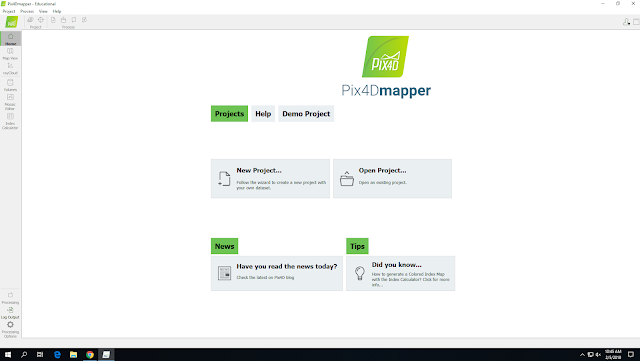
Intro to the Pix4D software In this lab we used the Pix4D software to construct a point cloud data set, true orthomosaic, and a digital surface model without the use of GCPs. What is Pix4D? Pix4D is a very popular software company that is primarily known for it’s software products that utilize photogrammetry and computer vision algorithms to transform pictures (whether RGB, thermal, multispectral, or otherwise) into 3D maps and models. The software is easy to use and has many versatile features. What products does it generate? The program that we used, the “Pix4Dmapper”, can generate point clouds, orthomosaics, digital surface models, 3D textured meshes, contour line maps, reflectance maps, index maps, and thermal maps depending on what kind of data you input and what kinds of sensors you used. Why is it so integral to UAS data processing? Without Pix4Dmapper (or at least a functionally similar program) we would have no way of processing our UAS images and the images would be...

Geospatial Basics

Image
Introduction What makes data geospatial? That is, what makes the data you worked with today geospatial in nature (think coordinates)? The data we used today was geospatial because it utilized geographic coordinate systems in order to position them on a map. The type of data that we used today could be used for a variety of geospatial reasons including looking at soil erosion or analyzing roads and tracks. What makes data in a GIS different than a digital map? Data in a GIS has much more detail than a regular digital map. The attribute data has much more information like coordinates, date, or other pertinent information for any given data set. Why is having an understanding of geospatial concepts and geospatial data so fundamental to working with UAS data? It is fundamental because the geospatial data and concepts are why the UAS data is useful. A high resolution orthomosaic is nice and all but the the geospatial data and the actual stats and attributes are what you’r...